Regional problems call for regional solutions

CHARG Technical Priorities
CHARG has identified a critical need to determine a common priority set of technical data and tools that will be critical for San Francisco Bay area flood management agencies to quantify and communicate sea level rise (SLR) risks and develop regional adaptation strategies. These priorities are described in a Technical Workplan and will direct our technical activities in 2019. We encourage your participation and engagement in this work! For more information, please review the plan.
We will investigate the following priority topics to better understand sea level rise risks and inform regional adaptation solutions:
These results are essential to avoiding unintended consequences along the shoreline (such as redirected flooding) and evaluating adaptation projects that provide regional benefits.
This inventory is critical for flood managers to efficiently coordinate and streamline regional modeling and project implementation.
Present and future shoreline boundaries must be known in order to inform accurate modeling and coordinated multi-jurisdictional sea level rise planning.
Filling information gaps on the effects of sea level rise is imperative to ensuring investment in the right solutions and making financially responsible decisions about the future of the Bay before adaptation is implemented.
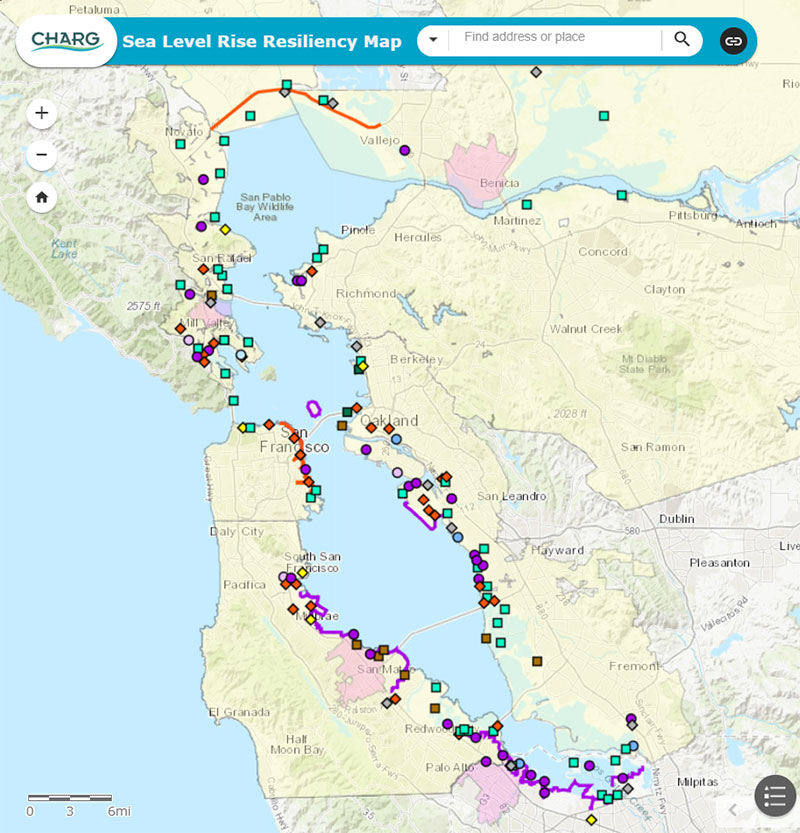
CHARG Sea Level Rise Resiliency Map
Interested in tracking and locating efforts throughout the San Francisco Bay Area to prepare for sea level rise? See the CHARG Sea Level Rise (SLR) Resiliency Map. The map is the first of several technical tools being produced by CHARG to facilitate information sharing and coordination among regional stakeholders and the public. Go to the SLR Resiliency Map page for more information and access to the map.
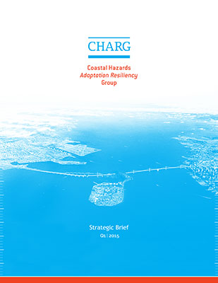
Strategic Brief
CHARG wrote a Strategic Brief in 2015 which established goals, strategies, and priorities for CHARG. The Strategic Brief is a unifying document that was developed through a robust process that included over a half of dozen meetings involving over 100 stakeholders. In collaboration with other partners, CHARG will focus on providing technical analyses needed to inform regional sea level rise adaptation. This work will be presented in CHARG’s Technical Workplan to be launched in January 2019.
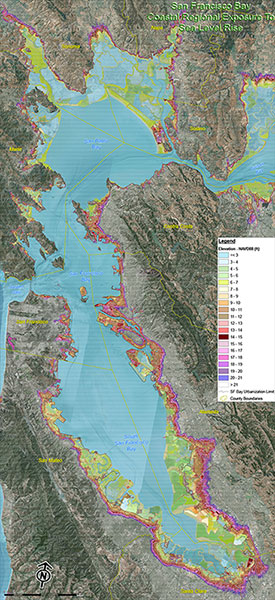
Where will the future San Francisco Bay shoreline be without adaptation?
These maps were developed by Alameda County Public Works Agency. They used a digital elevation model (DEM) to depict potential sea level rise extents in San Francisco bay in a scenario where no SLR adaptation actions have been taken.
- San Francisco Bay (View PDF)
- Alameda County (View PDF)
- Contra Costa County (View PDF)
- Marin County (View PDF)
- Napa County (View PDF)
- San Francisco County (View PDF)
- San Mateo County (View PDF)
- Santa Clara County (View PDF)
- Solano County (View PDF)
- Sonoma County (View PDF)
- High Resolution Versions of All Maps (Download ZIP, 103MB)
For questions about how these maps were made, please contact jbourgeois@valleywater.org.
Workshops, Meetings & Presentations
2019
“ART Bay Area: Asset Vulnerabilities and Next Steps” – Jessica Fain
“Groundwater Could Generate More Flooding Than Seawater. Are We Ready?” – Kristina Hill
“Technical Priorities to Support Regional Sea-Level Rise Adaptation and Resilience”- Matt Brennan
“A ‘One Bay Solution’: Tackling SLR at the Right Scale at the Right Time”- Rohin Saleh
“10 Challenges to Implementation in 10 Minutes” – Roger Leventhal
2017
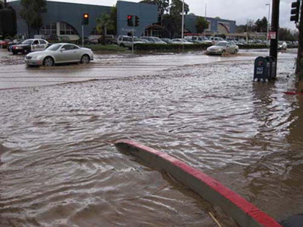
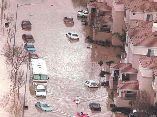
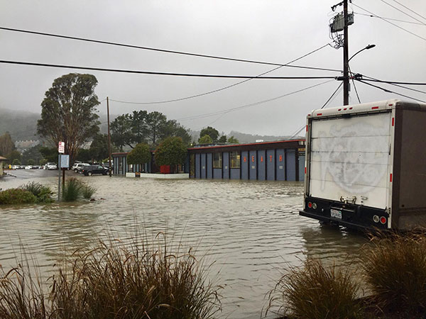
All our creeks drain to San Francisco Bay.
As sea levels rise, high water along the shore will flood our creeks and communities more often.
San Mateo County
Milpitas
Marin County