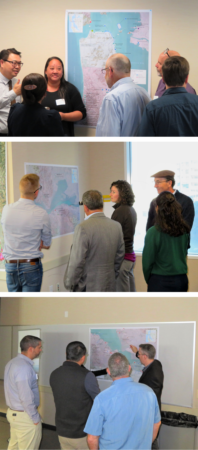
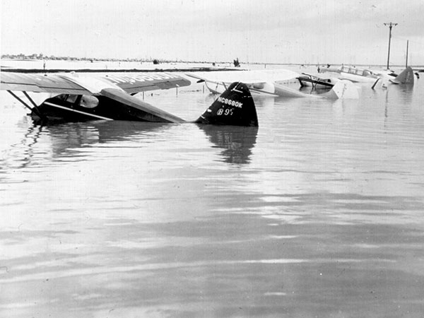
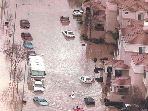
Sea Level Rise Resiliency Map
The CHARG Sea Level Rise (SLR) Resiliency Map is now available to foster discussions throughout the San Francisco Bay on lessons learned and how to more efficiently and effectively envision resiliency and adaptation for One Bay. The map is one of several technical tools being produced by CHARG to facilitate information sharing and coordination among regional stakeholders and the public. The map shows projects in all stages of development, from assessments and planning studies to final design and construction. Projects are identified by type (e.g., levee, restoration) and include local efforts and multi-jurisdictional initiatives. Projects can be searched by type, name, lead agency or county.
Data was collected from CHARG partners and stakeholders during Fall 2019. While information on each project was reviewed for accuracy, CHARG does not guarantee the precision of project locations or other attributes as this data is intended for general information purposes only. For official project information, contact the lead agency shown for each project.
As you are planning projects and considering how your community or group can adapt to sea level rise, please consult this map to inform your work and start a conversation with your resiliency community on how others are creating a resilient Bay Area and how you can learn from their experience, tie in and/or connect with one another.
Please contact CHARG at charg@esassoc.com to add your projects to this map, or to edit an existing project listing.
For optimal viewing of the CHARG SLR Resiliency Map, use the latest version of Chrome, Edge, Firefox or other modern web browsers.
SLR Resiliency Map publication date: December 9, 2019
All our creeks drain to San Francisco Bay.
As sea levels rise, high water along the shore will flood our creeks and communities more often.
Palo Alto Airport
Milpitas
San Jose